Here you can find useful information on the Salcombe Estuary, including tide times, rules of the water, boating instructions and much more!
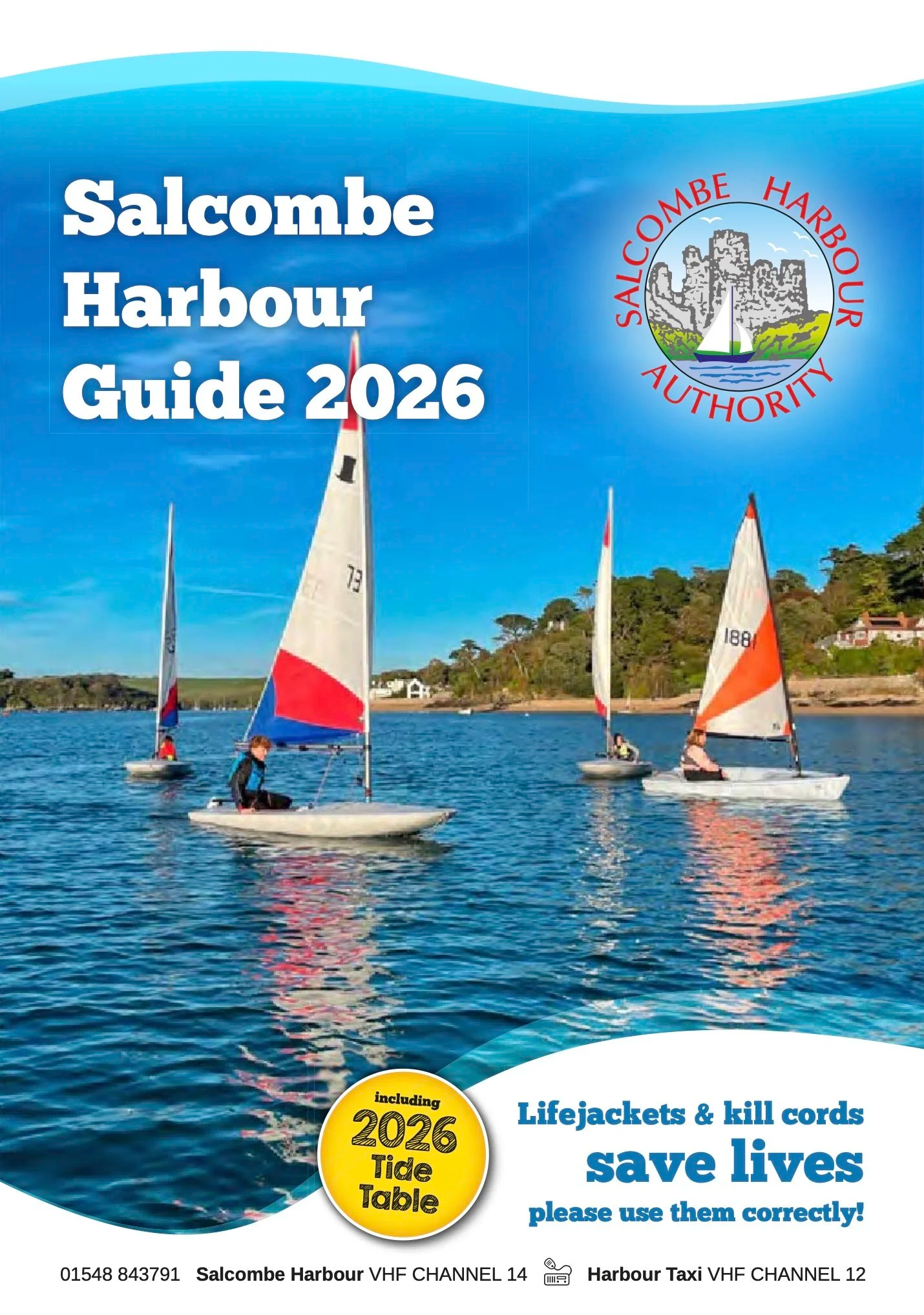
Cover page of the Salcombe Harbour Guide 2025, featuring a scenic view of the harbor with boats, a hillside with houses, and the Salcombe Harbour Authority logo.

2025 harbour guide

Planing on hiring a boat? Click here to access the Salcombe Harbour Guide – a valuable resource for planning your time on the water.

View Guide

today’s tide Times

  • 2025 Tide Times

    A set of four printed height above chart data tables from March to August 2025, showing times of high and low tides during different months, with specific date, day, and tide height details, organized by months in a calendar format.
  • Rules of the Water

    Illustration explaining maritime navigation rules for boats, including symbols for port and starboard, navigation marks, and vessel directions, with a flag in the top right corner indicating vessel restrictions in maneuvering.
  • Mooring Up

    Infographic showing how to moor a boat: foreshore, dan buoy, and deepwater mooring methods with illustrations and instructions.
  • Estuary Map

  • Mooring Map

    Detailed map of a water body with various labeled points, including boatyards, pontoons, bays, points, and facilities such as harbors and yacht clubs, with navigation routes and depth markings.